ケニア · 楯状火山
Emuruangogolak
- タイプ
- 楯状火山
- 標高
- 1285m
- 最終噴火
- 1910年
- タイプ
- 楯状火山
- 国
- ケニア
- 地域
- 東アフリカ / Kenyan Rift Volcanic Province
- 標高
- 1285m
- 座標
- 1.500, 36.330
- 最終噴火
- 1910年
- テクトニクス環境
- リフト帯 / 大陸地殻 (> 25 km)
- 火山地形
- 楯状火山
- 主要岩石
- 粗面岩 / 粗面デイサイト
地質学的概要
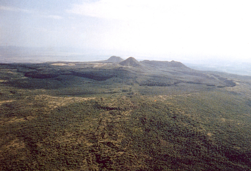
The broad Emuruangogolak shield volcano is situated at a narrow constriction in the Gregory Rift and almost completely straddles it. A 5 x 3.5 km summit caldera formed about 38,000 years ago. Since then trachytic and basaltic lava flows were erupted on the northern and southern flanks and within the caldera. A NNE-SSW-trending chain of lake-filled basaltic maars extends along the floor of the rift from the lower flanks of the volcano. Young lava flows were also erupted from vents along rift valley faults. Well-preserved cones erupted along rift-parallel faults cutting the volcano; the latest eruption produced a trachytic lava flow dated from secular magnetic variation measurements at about the beginning of the 20th century. Fumarolic activity and hot steaming ground occurs along NNE-trending fissures within the caldera and along the lower NW flanks.
噴火履歴
8件の記録用語集詳細タイムライン
- 1910年 (±50年)VEI 0地質学的推定1910-07-02 ~ 終了日不明South caldera rim
- 1700年 (±100年)VEI 0地質学的推定1700 ~ 終了日不明South caldera rim
- 1300年 (±150年)VEI 0地質学的推定1300 ~ 終了日不明NE flank
- 1230年 (±150年)VEI 0地質学的推定1230 ~ 終了日不明NE flank
- 1160年 (±150年)VEI 0地質学的推定1160 ~ 終了日不明NE flank
- 1120年 (±150年)VEI 0地質学的推定1120 ~ 終了日不明North flank
- 紀元前 6550年 (±1500年)VEI ?地質学的推定紀元前 6550 ~ 終了日不明North flank
- 紀元前 8050年 (±1000年)VEI ?地質学的推定紀元前 8050 ~ 終了日不明North flank
近くの火山
外部リンク
⚠ 参考情報です。緊急対応には使用しないでください。