ケニア · 楯状火山
Mount Silali
Silali
- タイプ
- 楯状火山
- 標高
- 1528m
- 最終噴火
- -5050年
- タイプ
- 楯状火山
- 国
- ケニア
- 地域
- 東アフリカ / Kenyan Rift Volcanic Province
- 標高
- 1528m
- 座標
- 1.150, 36.230
- 最終噴火
- -5050年
- テクトニクス環境
- リフト帯 / 大陸地殻 (> 25 km)
- 火山地形
- 楯状火山
- 主要岩石
- 粗面岩 / 粗面デイサイト
地質学的概要
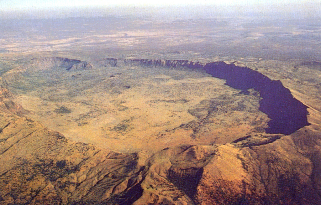
The 30-km-wide Silali trachytic shield volcano, the largest Quaternary volcano in the northern Gregory Rift, completely straddles the East African Rift. The 5 x 8 km summit caldera with 300 m deep walls is thought to have formed incrementally about 63,000 years ago, related to eruption of the Kantenmening basaltic and trachytic lava flows. A series of summit-area lava benches formed by eruptions from circumferential fissures is morphologically similar to Galapagos Islands volcanoes. The N, E, and S flanks are cut by a prominent broad rift zone 10 km wide and 30 km long, with numerous pyroclastic cones. Lava domes on the upper E flank formed during the late Pleistocene and early Holocene, until about 7,000 years ago. Youthful cones are common on the caldera floor and on the N and NE flanks; the youngest lava flows may be little more than a few hundred years old (Williams et al. 1984). Geothermal activity occurs within the caldera and on the upper E flanks.
噴火履歴
3件の記録用語集詳細タイムライン
- 紀元前 5050年 (±2000年)VEI ?地質学的推定紀元前 5050 ~ 終了日不明Upper east flank
- 紀元前 6050年 (±3000年)VEI ?地質学的推定紀元前 6050 ~ 終了日不明Eastern part of caldera
- 紀元前 7050年 (±2000年)VEI ?地質学的推定紀元前 7050 ~ 終了日不明Upper east flank
近くの火山
外部リンク
⚠ 参考情報です。緊急対応には使用しないでください。