イエメン · 火山原
Harras of Dhamar
Dhamar, Harras of
- タイプ
- 火山原
- 標高
- 3500m
- 最終噴火
- 不明
- タイプ
- 火山原
- 国
- イエメン
- 地域
- アラビア・中央アジア / Southwest Arabia Volcanic Province
- 標高
- 3500m
- 座標
- 14.570, 44.670
- 最終噴火
- 不明
- テクトニクス環境
- プレート内部 / 大陸地殻 (> 25 km)
- 火山地形
- 火山群
- 主要岩石
- 玄武岩 / ピクライト質玄武岩
地質学的概要
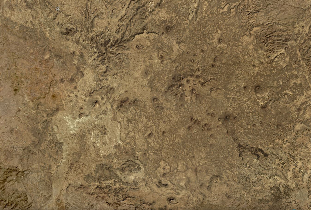
The lava fields surrounding the town of Dhamar are part of a volcanic field extending 80 km E that includes several stratovolcanoes and many youthful volcanic cones. Basaltic lava flows overlie older rhyolitic flows. Residents near Dhamar "spoke of a volcanic eruption that must have taken place in 1937 near the town" (von Wissmann, 1942; Rathjens and von Wissmann, 1942; cited in Neumann van Padang, 1963); this supposed activity has not been confirmed, located, or described by later work.
噴火履歴
1件の記録用語集概要 (VEI時系列)
バーをクリックすると個別の噴火が表示されます · 矢印キーで棒を移動、Enterで表示
詳細タイムライン
- 1937年VEI 2観測記録1937-07-02 ~ 終了日不明Near the town of Dhamar
近くの火山
外部リンク
⚠ 参考情報です。緊急対応には使用しないでください。